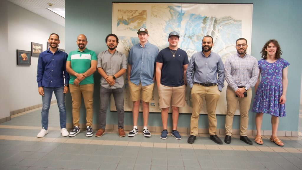
Lab members @ Aug. 2024
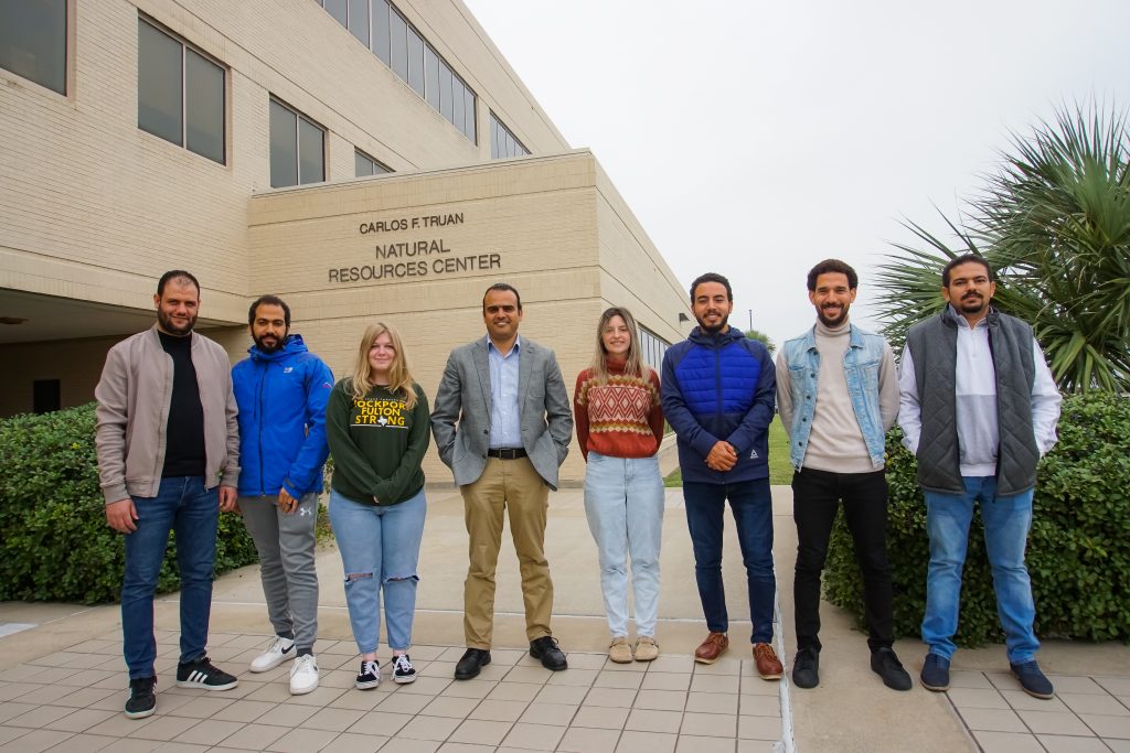
Lab members @ Nov. 2022
Current
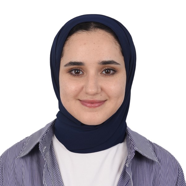
Chaimaa Et-Takaouy ( Fulbright Visiting Scholar)
Born and raised in Tetouan, Chaimaa Et-Takaouy is a Fulbright scholar currently pursuing a Ph.D. at Abdelmalek Essaâdi University in Tetouan, specializing in hydrogeology, remote sensing, and climatology. Her research focuses on an alternative source of data known as Satellite-based Precipitation Products (SPPs) to help overcome the limitations of precipitation data shortage in developing countries and investigate their application in hydrological modeling.
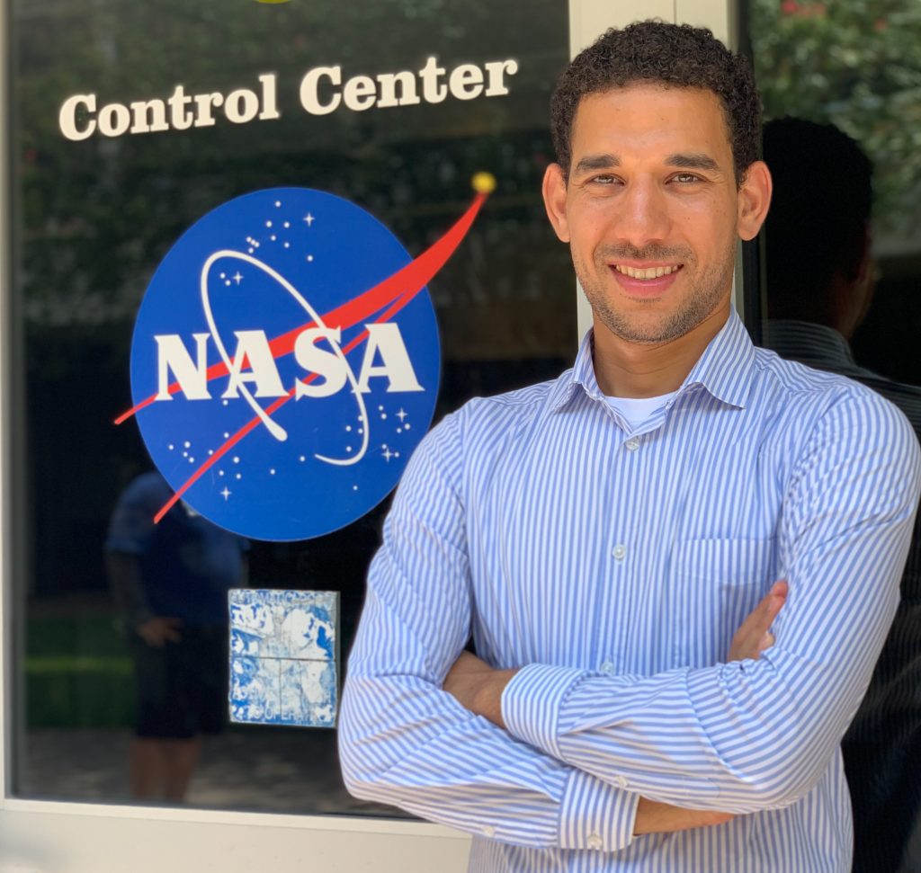
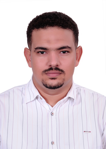
Ramadan Abdelrehim (PhD)
I am conducting groundwater exploration research in arid environments using various geophysical and remote sensing techniques. I’m currently using the SWAT model to calibrate stream flow, sediments, and nutrient discharge in Baffin Bay, Texas.
Email: rabdelrehim@islander.tamucc.edu
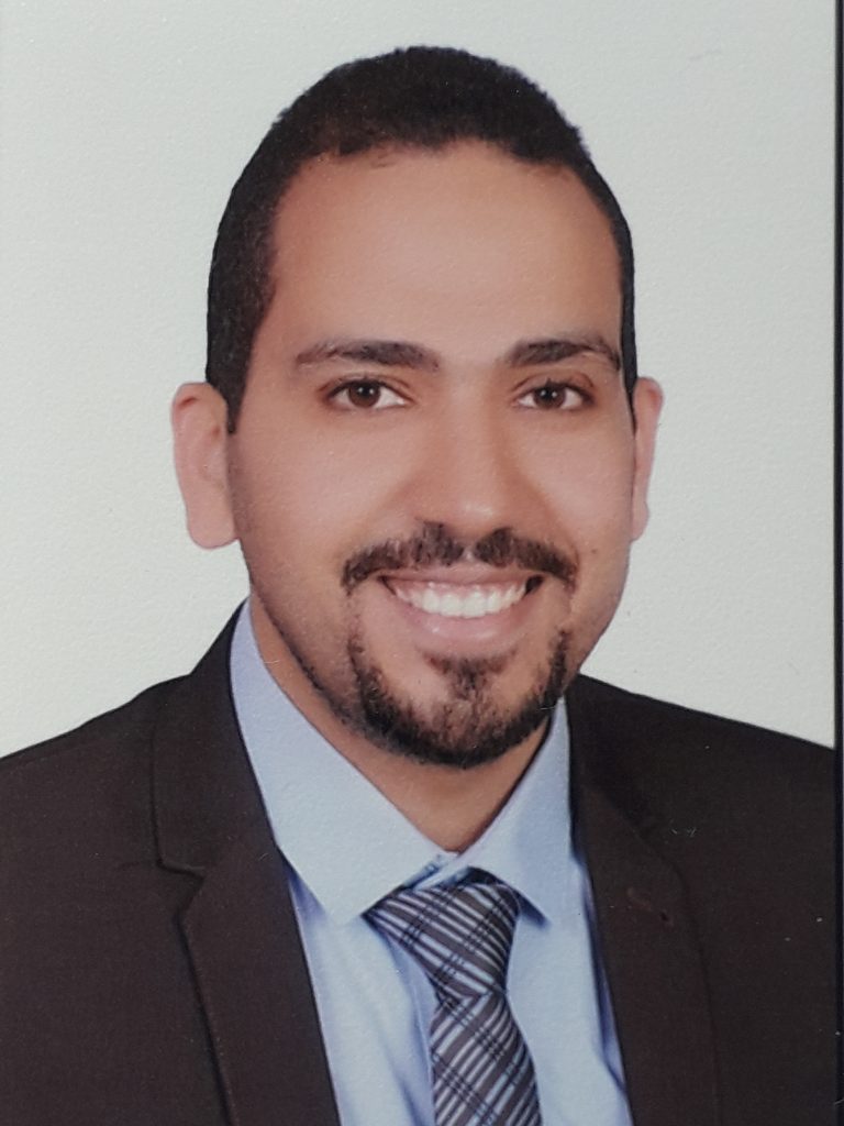
Mohamed Mousa (PhD)
I am using passive seismic techniques to map growth fault systems in coastal areas of Texas and the Gulf of Suez, Egypt.
Email: mmousa@islander.tamucc.edu
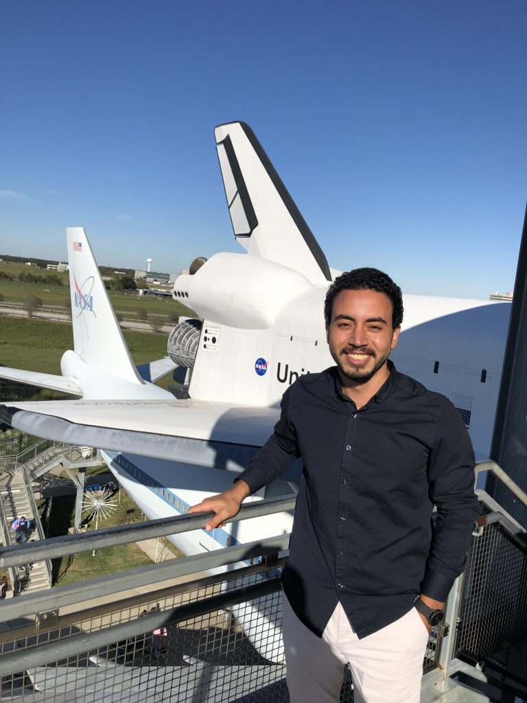
Ahmed Omar (PhD)
I use thermal remote sensing data to map groundwater discharge areas in both terrestrial and marine environments.
Email: aomar1@islander.tamucc.edu
Muhamed Elshalkany (PhD)
My current research activities involve the use of geophysical and remote sensing data to map growth faults across the Texas coast.
Email: melshalkany@islander.tamucc.edu
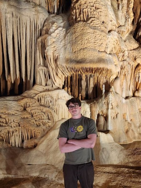
Alan Innes (MS)
My current research activities involve the use of cell phone technology to map berried metallic objects.
Email: ainnes@islander.tamucc.edu
Previous
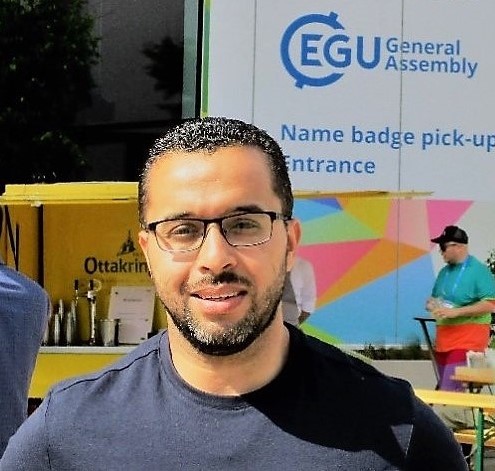
Amir Ismail ( Fulbright Postdoctoral Scholar)
Seismic data analysis, seismic attributes, AVO, rock physics, petroleum geology, machine learning in subsurface imaging.
Email: amir.ismail@tamucc.edu
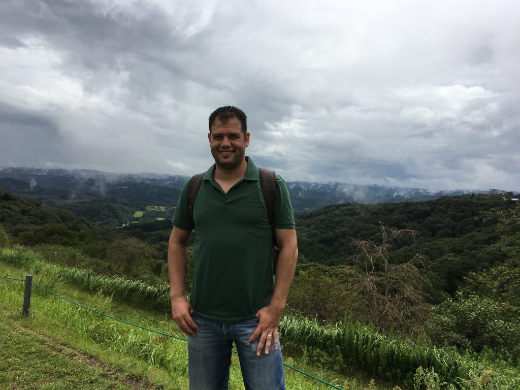
Amer Shetata (Fulbright Postdoctoral Scholar )
I apply integrated (seismic, sedimentology, sequence stratigraphy, petrophysics, machine learning) approaches to investigate the subsurface geology, sequence stratigraphy, structural framework and reservoir properties, architecture, quality and characterization and their prediction. Currently, I’m using the sequence stratigraphy, facies analysis and petrophysical studies for reservoir quality and characterization by using the integrated surface and subsurface datasets. Surface datasets include the field study for the sedimentary successions while the subsurface datasets include seismic lines, different well logs as well as the core data. All the conventional interpretations are supported with machine learning techniques (deep neural network, gradient boosting machine, generalized linear model, distributed random forest) to predict the reservoir facies and properties. Also, the unconventional hydrocarbons studies (oil shale, and carbonates) are involved and the integration between GPR and sedimentological data is used to emphasize the subsurface characterization.
Email: amer.ismail@tamucc.edu

Muhamed Elshalkany (MS)
My current research activities involve the use of geophysical data (seismic, GPR, resistivity, and remote sensing data) to develop sustainable groundwater resources in the Saint Catherine area, Sinai, Egypt.
Email: melshalkany@islander.tamucc.edu
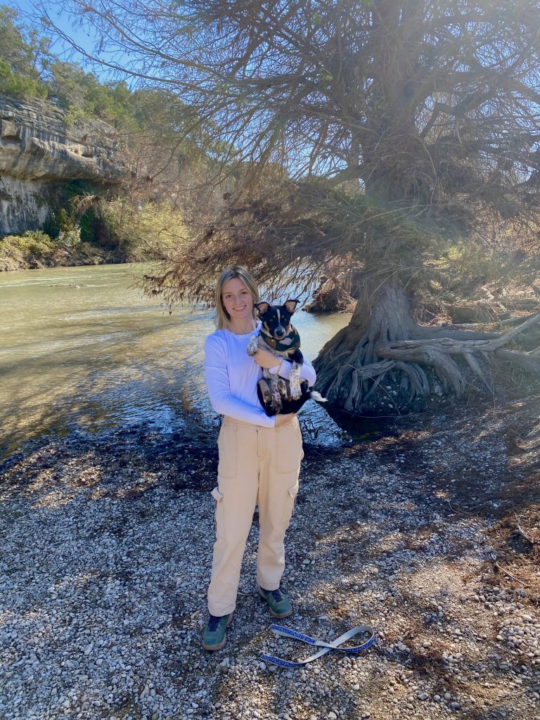
Meghan Bygate (MS)
I am utilizing Landsat 8 and ECOSTRESS remote sensing data to generate hydrologic data (salinity, temperature, turbidity, chlorophyll-a) for Matagorda Bay, Texas. Landsat 8 surface reflectance will be modeled to predict salinity, turbidity, and chlorophyll-a values using the machine learning algorithm, Deep Learning. The optimal model generated to predict each environmental parameter will be applied to extract data values from the entire bay. Using the generated time series, optimal locations for oyster growth and development within Matagorda Bay will be identified.
Email: mbygate@islander.tamucc.edu
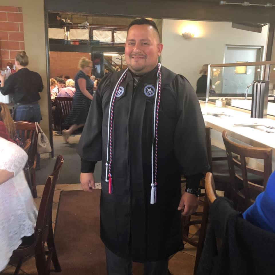
Dionel “Don” Colmenero (MS)
I am studying the subsurface geology of Padre island using GPR and Electrical Resistivity to characterize the lithological packages observed in a barrier island facies.
Email: dcolmenero1@islander.tamucc.edu
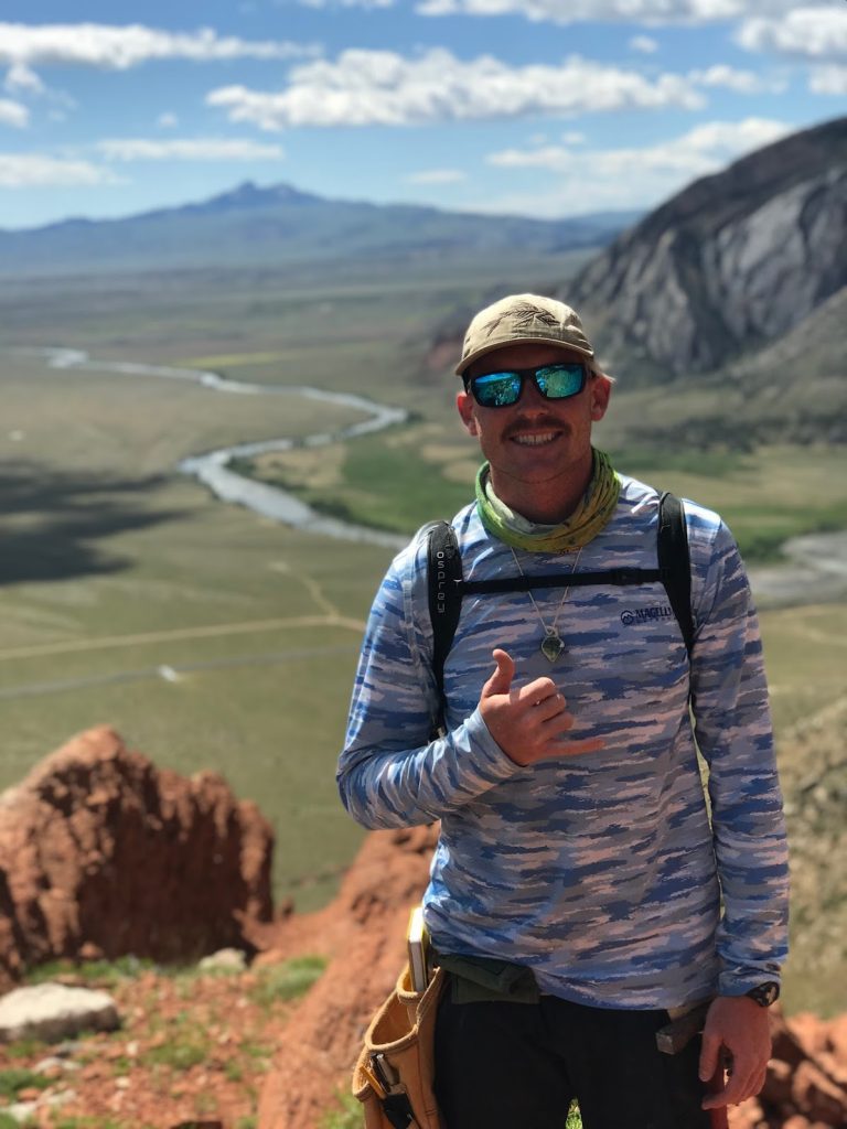
Ryan Turner (MS)
I am conducting research on faults control on oil/gas reservoirs spacial distribution and quality within the lower Oligocene Vicksburg formation. Intervals V-14 to V-20 are being explored using a 3D seismic dataset, 98 well logs, velocity surveys, and formation tests.
Email: rturner@islander.tamucc.edu
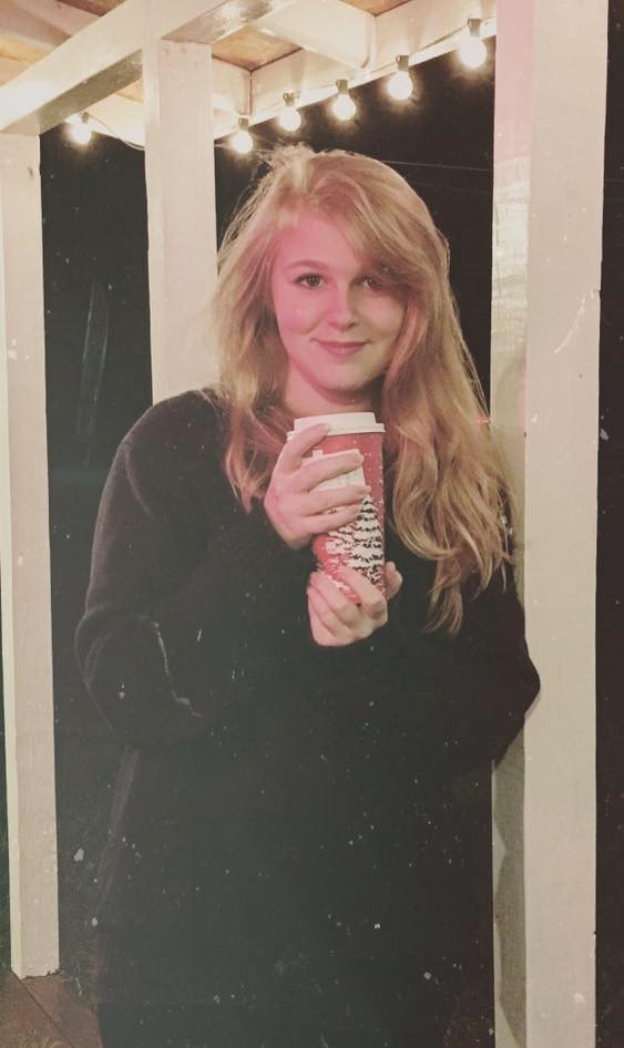
Mandy Beattie (MS)
I’m using gravity and InSAR techniques to quantify land subsidence rates in coastal Texas.
Email: abeattie@islander.tamucc.edu
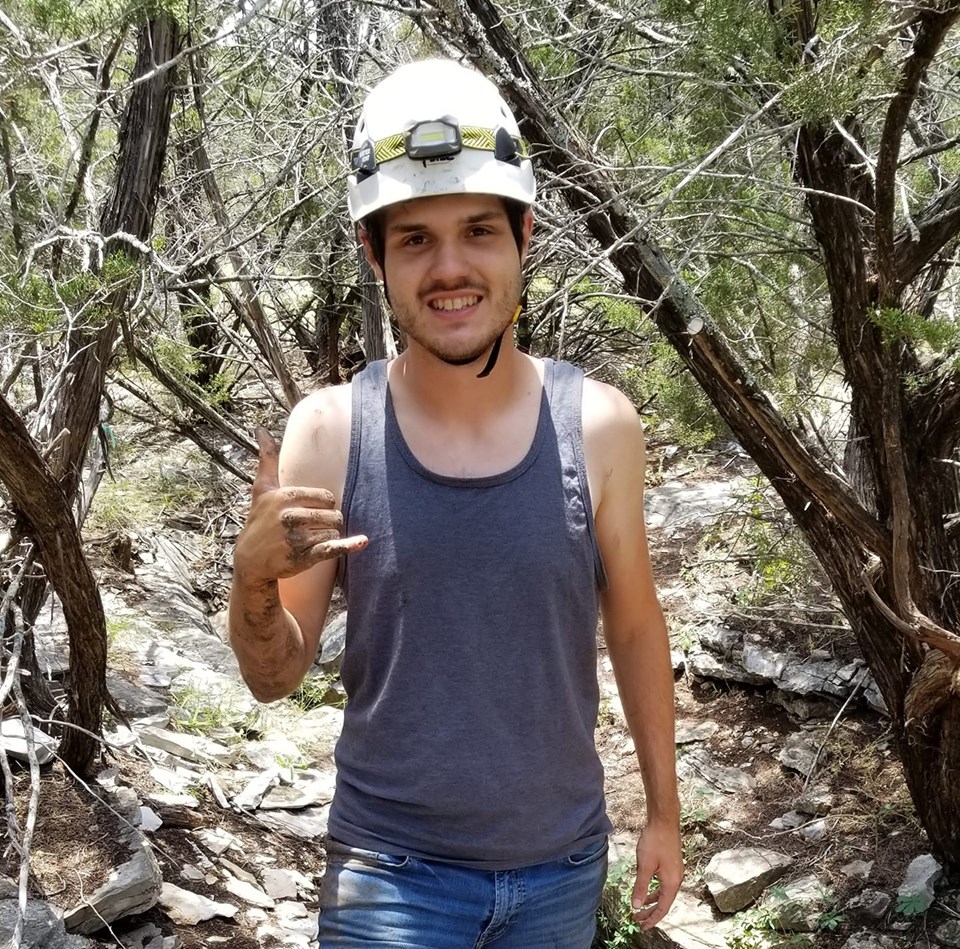
Michael Haley (MS)
I am studying subsidence rate in south Texas. Using sentinel data in SARscape to create a subsidence displacement velocity map of the Coastal Bend.
Email: Mhaley@islander.tamucc.edu

Tejaswini Penchala (MS)
Email: tpenchala@islander.tamucc.edu